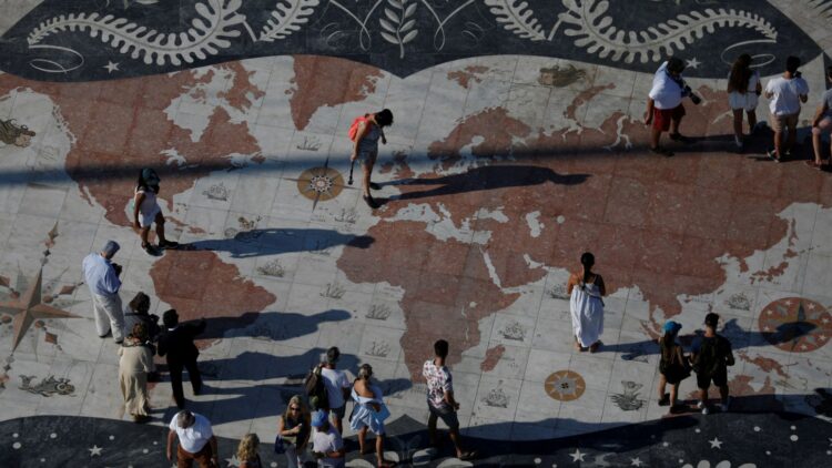
The African Union is fighting to correct the misrepresentation of the African continent. By advocating for maps that reflect Africa’s true size, the AU aims to ensure a more accurate representation of the continent’s geographic importance. Proponents argue that proper representation can strengthen African identity and raise global awareness of the continent’s potential, as well as educate about the causes that have led to misrepresentation over the centuries.
AU campaign challenges Mercator map, aims to restore Africa’s global presence
The African Union has backed a campaign to end the use by governments and international organizations of the 16th-century Mercator map of the world in favor of one that more accurately displays Africa’s size. Created by cartographer Gerardus Mercator for navigation, the projection distorts continent sizes, enlarging areas near the poles like North America and Greenland while shrinking Africa and South America.
“It might seem to be just a map, but in reality, it is not,” AU Commission deputy chairperson Selma Malika Haddadi told Reuters, saying the Mercator fostered a false impression that Africa was “marginal”, despite being the world’s second-largest continent by area, with 54 nations and over a billion people.
Equal Earth projection offers a more accurate visual of Africa’s size
It’s important to understand the educational and psychological impact of distorted maps. The Mercator projection visually reduces Africa and can also influence notions of power and relevance worldwide. Replacing it with the Equal Earth projection in schools, textbooks, and media can help children and adults appreciate Africa’s true scale, fostering pride and identity among Africans.
Criticism of the Mercator map is not new, but the ‘Correct The Map’ campaign led by advocacy groups Africa No Filter and Speak Up Africa has revived the debate, urging organizations to adopt the 2018 Equal Earth projection, which tries to reflect countries’ true sizes.
“The current size of the map of Africa is wrong,” Moky Makura, executive director of Africa No Filter, said. “It’s the world’s longest misinformation and disinformation campaign, and it just simply has to stop.”
Correct The Map advocates for Africa-centric curricula and institutional adoption
Fara Ndiaye, co-founder of Speak Up Africa, said the Mercator affected Africans’ identity and pride, especially children who might encounter it early in school.
“We’re actively working on promoting a curriculum where the Equal Earth projection will be the main standard across all (African) classrooms,” Ndiaye said, adding she hoped it would also be the one used by global institutions, including Africa-based ones.
The AU’s support reflects a broader goal of restoring Africa’s international influence. Beyond the educational aspect, this topic raises reflections on historical injustices and global equity. By promoting maps that accurately depict Africa’s size, the African Union hopes to strengthen Africa’s collective identity and ensure that the continent’s contributions and potential are recognized on the global stage.
Haddadi said the AU endorsed the campaign, adding it aligned with its goal of “reclaiming Africa’s rightful place on the global stage” amid growing calls for reparations for colonialism and slavery. The AU will advocate for wider map adoption and discuss collective actions with member states, Haddadi added.
Global institutions urged to phase out Mercator, adopt Equal Earth standard
‘Correct The Map’ wants organizations like the World Bank and the United Nations to adopt the Equal Earth map. A World Bank spokesperson said they already use the Winkel-Tripel or Equal Earth for static maps and are phasing out Mercator on web maps.
More accurate use of maps can have an impact on reshaping perceptions and decision-making. If organizations like the UN and the World Bank fully adopt the Equal Earth projection, it would represent a significant step toward correcting historical distortions, reinforcing Africa’s prominence in global discourse, and supporting educational reforms that present a true view of the world’s continents.
GCN.com/Reuters


