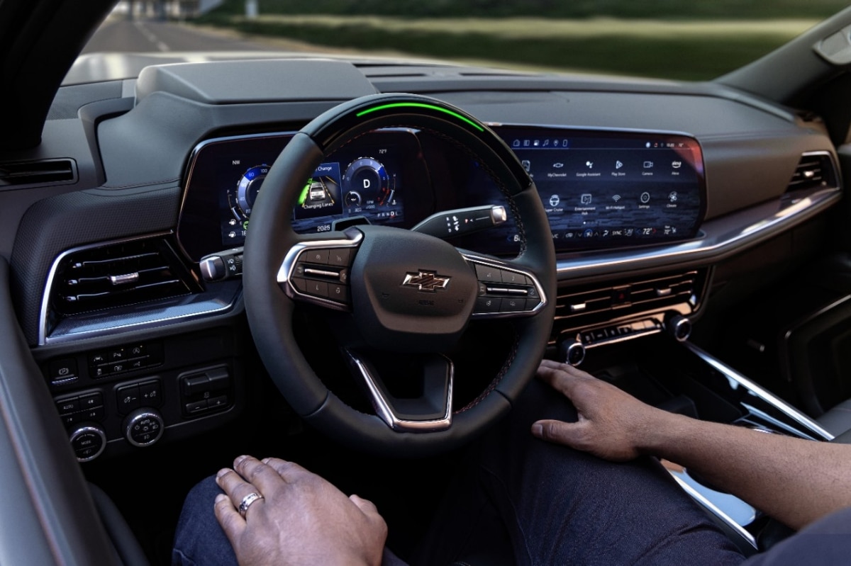
A driver on an interstate outside Denver lets go of the wheel, and the car keeps itself centered without complaint.
Under the hood, something invisible just changed.
The road ahead is no longer read from one sprawling map file.
It comes instead from a tiny patch of data, downloaded minutes earlier, covering only the stretch of pavement in front of the bumper.
So how does a car actually know which few feet of road data it needs, out of hundreds of thousands of mapped miles?
The mechanism: why one big map became 220,000 small ones
For years, hands-free highway systems worked off a single, sprawling regional map that lived on the car’s onboard computer. Every time the road network grew, that file grew with it, and pushing updates meant sending enormous chunks of data to every vehicle, whether a driver needed them or not.
General Motors is changing how it delivers map data to vehicles equipped with Super Cruise, replacing a single large regional map with more than 220,000 smaller geographic tiles.
Each tile is tied to a specific location on Earth using a coordinate system called a geohash. GM’s Data Over the Air, or DOTA, system divides the map into small geographic units called tiles. Each tile corresponds to a geohash, creating a grid across the coverage area. So instead of hauling around a map of an entire state, the car only needs the small patch of grid squares around its current route.
That matters because vehicles can then download the tiles relevant to their location and retrieve additional data as they travel , grabbing fresh squares as the trip unfolds rather than loading everything up front. The result is an approach that reduces unnecessary downloads while making updates easier to install.
The scene: a driving system that now spans 750,000 miles
To understand why GM needed a new delivery method, picture how far this network has already stretched. Since launching on the Cadillac CT6 in 2017, the system has expanded to more than 600,000 miles of compatible roads across the U.S. and Canada.
GM’s own materials now put that figure closer to 750,000 miles once the latest expansions land. That growth has not been limited to highway miles.
This includes nearly 750,000 Super Cruise-enabled vehicles across 23 models in North America , and General Motors customers have driven 1 billion hands-free miles with Super Cruise driver assistance technology . Every one of those vehicles needs a map that reflects construction zones, new lane markings and shifted exits, often within weeks of a change on the actual pavement.
Which is exactly the problem a single giant file cannot solve gracefully. The tile based system, built around a geohash grid, lets GM target updates the way a delivery truck targets a city block instead of resending the whole metro area every time one street gets repaved.
The evidence: three times more frequent updates, from GM’s own account
GM has published specific numbers behind the switch, and they are worth sitting with. GM says its DOTA system pushes maps to customers three times more often than its previous delivery model. That is not a marginal gain; it is a fundamental change in how quickly stale map data gets replaced.
The company also reports strong uptake once those smaller updates reach a vehicle, with exceptionally high rates of successful adoption of the latest map updates .
This kind of granular mapping sits alongside the physical sensing most drivers already associate with hands-free driving, cameras watching lane lines and the driver’s eyes, radar tracking nearby traffic. The system uses a combination of LiDAR-enabled map data using real-time positioning, cameras, and sensors , with the LiDAR-scanned maps setting the system apart from rivals. The milestone was detailed in a company announcement describing how customers have logged usage across millions of trips. Shoppers comparing vehicle history reports pulled from large data networks will recognize the same basic challenge, a system is only as useful as how quickly its underlying data gets refreshed.
The complication: map precision still has limits
None of this fixes every challenge hands-free systems face. A tile can only be as good as the survey crew that captured it, and GM’s own account makes clear that crews have driven and digitally surveyed every compatible highway, capturing road curvature and lane geometry with high precision. That is a slow, physical process no software architecture can shortcut.
Even so, a smarter delivery pipeline does not replace cameras and sensors in the moment of driving. The maps tell the car what the road is supposed to look like; the onboard hardware still has to confirm that reality matches the file, especially around construction, weather or unexpected stopped traffic.
Rival systems have faced scrutiny on exactly that seam between mapped data and live detection. GM is already looking past the current grid toward something adaptive, since future map data will use a dynamic structure that subdivides areas according to how dense the mapped roads are, so an urban area with many roads can be broken into smaller sections than a sparsely mapped rural stretch.
What it means: a quieter kind of upgrade for everyday drivers
For an owner, none of this tile architecture is visible on the dashboard. The car simply feels a little more current, a little less likely to hesitate at a newly repainted lane line or a recently shifted exit ramp.
That invisibility is the point. Infrastructure upgrades like this rarely make headlines the way a new model or a redesigned assembly line does, yet they decide whether a safety feature keeps pace with a changing road network.
GM frames the tile system as a foundation for what comes next, not a finished product. With DOTA, GM can send smaller amounts of fresher data to vehicles and build an OTA infrastructure capable of supporting future generations of Super Cruise and other vehicle data.
For drivers, the practical promise is simple: a hands-free system that updates itself closer to the pace the real road actually changes, one small tile at a time.
